Attribute
Detail
Format
Recorded Lectures (Self-Paced)
Level
Intermediate
Duration
3 Days (60-90 Minutes each Day)
Certification
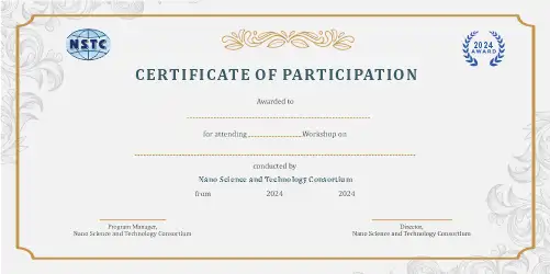
e-Certification + e-Marksheet
Tools
Sentinel, Landsat, Python, TensorFlow, Scikit-learn, QGIS
About the Ai Course
The International Course on AI and Remote Sensing for Coastal Erosion and Habitat Monitoring focuses on applying artificial intelligence and satellite data analytics to address coastal climate challenges.
Participants will gain hands‑on experience in shoreline detection, marine habitat mapping, coral reef monitoring, and predictive modeling, using machine learning, computer vision, and GIS tools to support sustainable coastal and marine resource management.
Program Highlights
• Comprehensive coverage of AI and Remote Sensing for Coastal Erosion and Habitat Monitoring from fundamentals to advanced applications
• Hands-on projects and real-world case studies in coastal-erosion-monitoring
• Expert-curated curriculum aligned with current industry standards
• Access to recorded lectures and e-LMS platform for flexible, self-paced learning
• e-Certification and e-Marksheet upon successful completion
• Dedicated mentor support and interactive doubt-clearing sessions
• Practical experience with tools: Sentinel, Landsat, Python, TensorFlow
• Career-oriented training for academic and professional growth in coastal-erosion-monitoring
Course Curriculum
Module 1: Day 1: AI for Coastal Erosion Monitoring
- Understand coastal climate risks and remote‑sensing fundamentals
- Analyze Sentinel & Landsat imagery for shoreline extraction
- Build machine‑learning models to detect erosion and change
Module 2: Day 2: AI for Marine Ecosystem & Coral Monitoring
- Classify marine habitats such as coral, mangroves, and seagrass using ML
- Detect coral‑reef health with computer‑vision techniques
- Deploy AI‑powered AUV data pipelines for underwater analytics
Module 3: Day 3: Predictive Modeling & Sustainable Marine Management
- Create time‑series models to forecast habitat loss
- Generate AI‑based biodiversity maps for fisheries management
- Design decision‑support dashboards for coastal restoration projects
Tools, Techniques, or Platforms Covered
Sentinel
Landsat
Python
TensorFlow
Scikit-learn
QGIS
ArcGIS
Google Earth Engine
OpenCV
PyTorch
Real-World Applications
- Apply AI and Remote Sensing for Coastal Erosion and Habitat Monitoring skills directly to academic research, thesis work, and publications
- Build a professional portfolio showcasing practical coastal-erosion-monitoring competencies
- Solve industry-relevant problems using AI and Remote Sensing for Coastal Erosion and Habitat Monitoring methodologies and tools
- Contribute to open-source projects and collaborative research in coastal-erosion-monitoring
- Prepare for competitive examinations, interviews, and professional certifications in coastal-erosion-monitoring
Who Should Attend & Prerequisites
- Industry‑recognised e‑Certification + e‑Marksheet from NSTC
- Hands‑on training with practical projects and real satellite datasets
- Dedicated expert mentorship and doubt‑resolution sessions
Prerequisites:
Frequently Asked Questions
1. What is the format of this AI and Remote Sensing for Coastal Erosion and Habitat Monitoring course?
This is an Recorded Lectures (Self-Paced) course delivered via our e-LMS platform. You will have access to pre-recorded video lectures, reading materials, assignments, quizzes, and hands-on projects that you can complete at your own pace.
2. Will I receive a certificate after completing this course?
Yes! Upon successful completion of all modules, assignments, and assessments, you will receive an e-Certification along with an e-Marksheet from NanoSchool (NSTC) that you can showcase on your CV and LinkedIn profile.
3. What are the prerequisites for this course?
Learners should have a foundational understanding of coastal-erosion-monitoring concepts. Familiarity with basic tools and programming is recommended.
4. How long will I have access to the course materials?
You will have access to all course materials for the duration of 3 Days (60-90 Minutes each Day). The self-paced format allows you to learn according to your own schedule through our online learning management system.
5. Is mentor support available during the course?
Yes, dedicated mentor support is available throughout the course. You can reach out for doubt-clearing sessions, project guidance, and career advice related to coastal-erosion-monitoring. Our mentors are industry experts and experienced professionals.
Enroll in AI and Remote Sensing for Coastal Erosion and Habitat Monitoring today and take the next step in your professional journey. With expert-curated content, practical projects, and industry-recognized certification, this course is your gateway to mastering coastal-erosion-monitoring skills that matter.